The Ray Deploys Natural Capital at WSDOT’S Scatter Creek Site
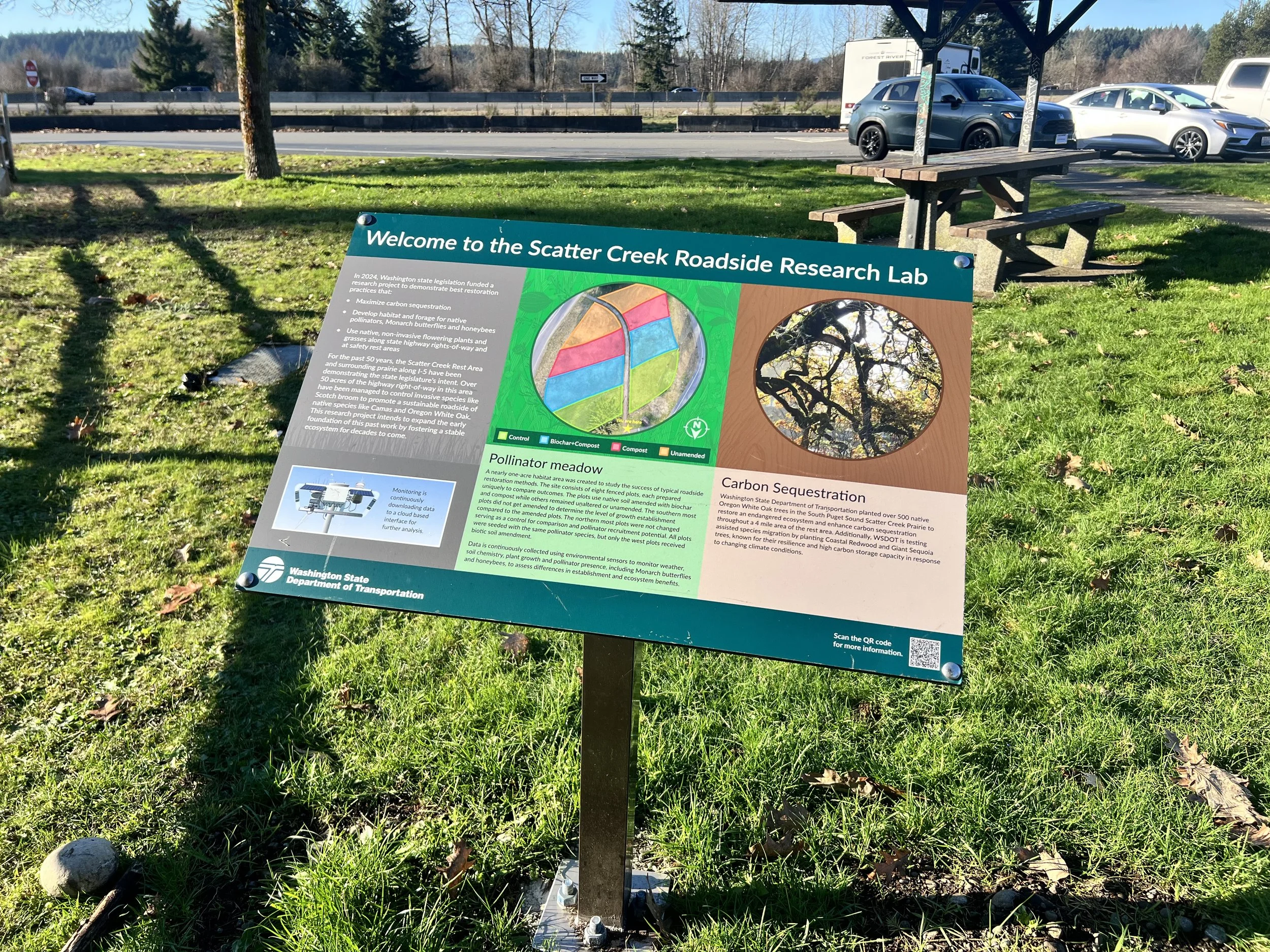
The Ray’s Natural Capital program has implemented a sophisticated data-driven habitat and species mitigation project along the Interstate 5 corridor, expanding its national footprint into the Pacific Northwest. Located at the Washington State Department of Transportation’s (WSDOT) Scatter Creek Rest Area, this initiative integrates targeted ecological restoration for threatened species with advanced environmental sensing technology, demonstrating how right-of-way (ROW) land can be optimized for high-functioning biological performance.
By securing critical funding pathways, designing specialized botanical seed mixes, and deploying automated microclimate monitoring systems, The Ray has successfully transformed passive roadside acreage into an active, data-yielding asset that supports regional biodiversity while maintaining transit safety.
Precision Engineering & Environmental Sensing at the Roadside
The Scatter Creek project showcases The Ray’s ability to execute multi-functional infrastructure solutions that balance regulatory requirements with advanced land management. Key components of the implementation include:
Targeted Species Mitigation: The project establishes a structured habitat tailored for the Mazama pocket gopher, a regionally threatened species. The work provides a scalable blueprint for managing federally protected wildlife within active transportation corridors.
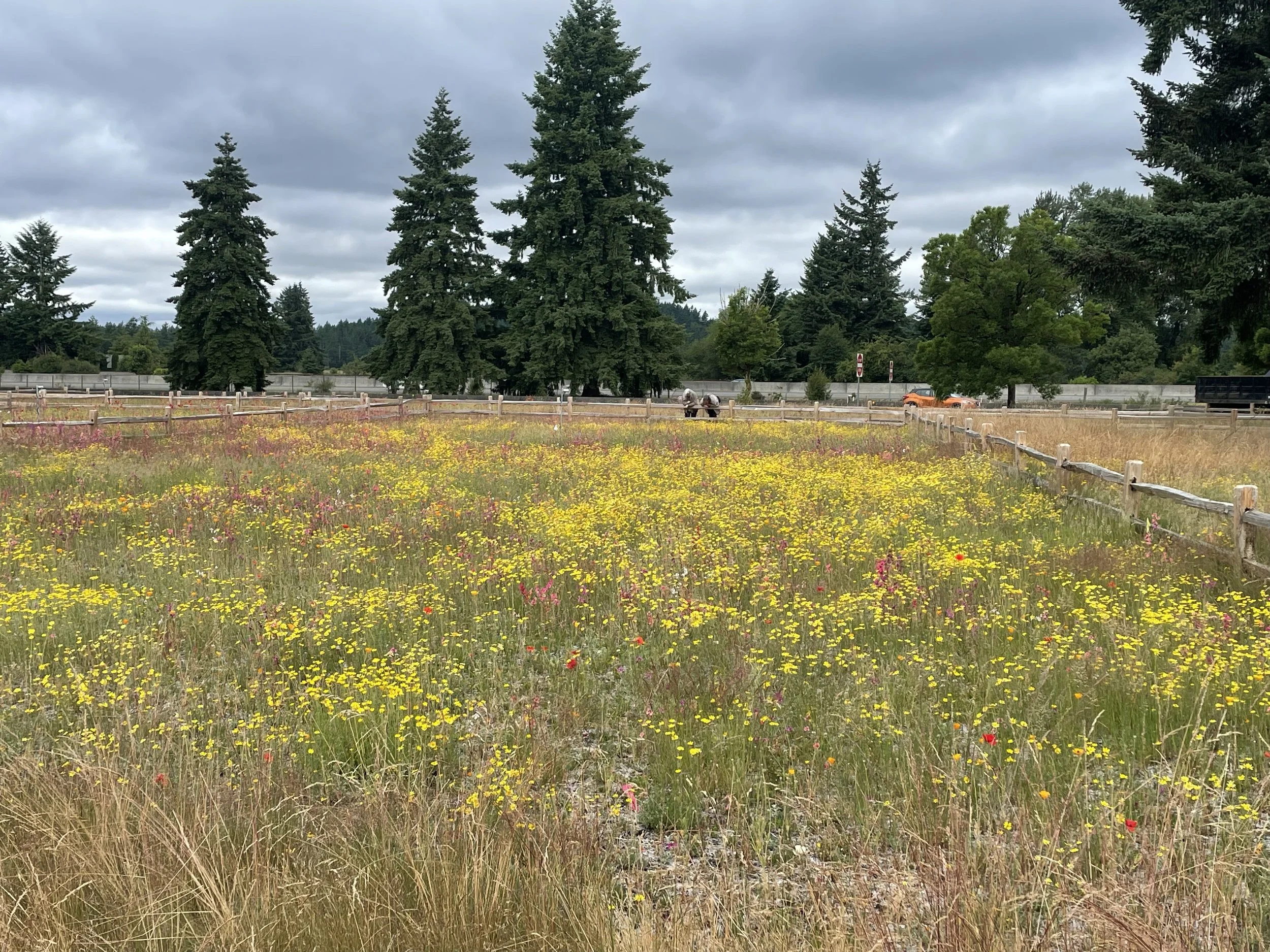
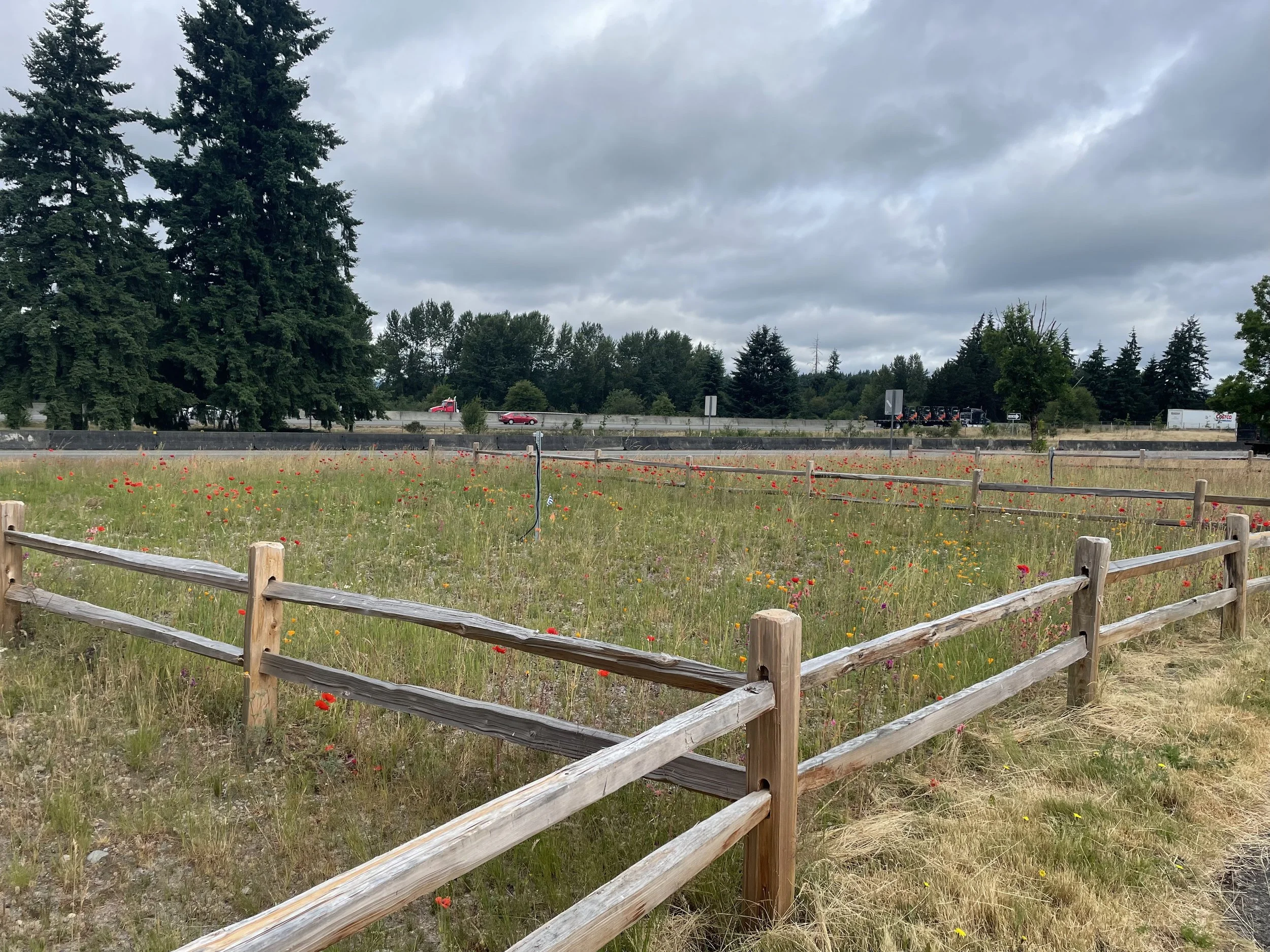
Botanical Design for Pollinator Resilience: The Ray engineered and selected specialized, native pollinator seed mixes tailored specifically to the site's unique soil and climate conditions. These deep-rooted native plants stabilize the roadside, improve stormwater infiltration, and establish permanent foraging habitats.
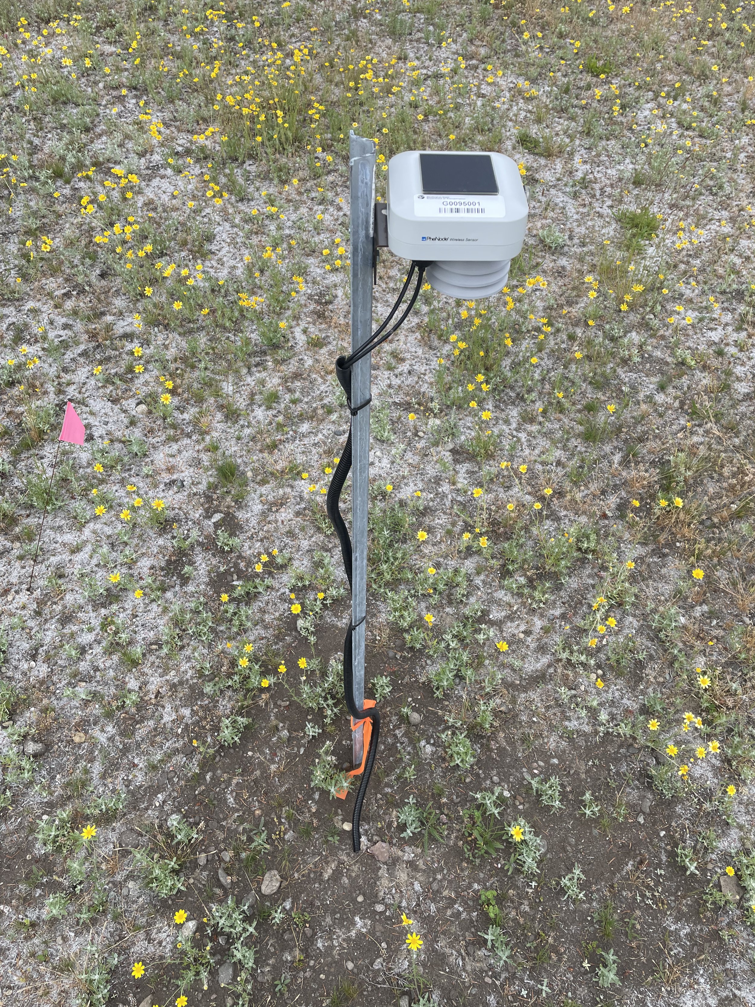
IoT Infrastructure Integration: Bridging technology and ecology, The Ray directed the installation of PheNode® environmental monitoring systems. The hardware platform is manufactured and operated by Agrela Ecosystems, an active industry partner of The Ray. These automated stations capture real-time microclimate data streams, enabling precise evaluation of vegetation establishment and long-term habitat viability.
A Nationally Scalable Model for Living Infrastructure
The Scatter Creek project serves as a premier example of The Ray’s nationally scalable Natural Capital framework. By replicating the proven methodology from its foundational installations at the Georgia Visitor Information Center, The Ray is building a repeatable playbook for state agencies nationwide. This standardized model will guide the ongoing transformation of underutilized right-of-way corridors and public points of interest, including rest areas, visitor centers, and interchange medians, into high-performing biological assets.
“Our work at Scatter Creek demonstrates that roadside infrastructure can actively protect vulnerable species while delivering the hard scientific data needed for modern land management. By integrating Agrela’s advanced PheNode monitoring systems into this mitigation site, we are proving how data-backed, nature-based solutions can be seamlessly scaled from our roots in Georgia to vital transit networks across the United States.”